Cois Coiribe‘s ‘Day in the Life’ series showcases the diverse workings of our research and teaching life at University of Galway. We aim to spotlight researchers, academics, and students, sharing their experiences, challenges, and exciting discoveries!

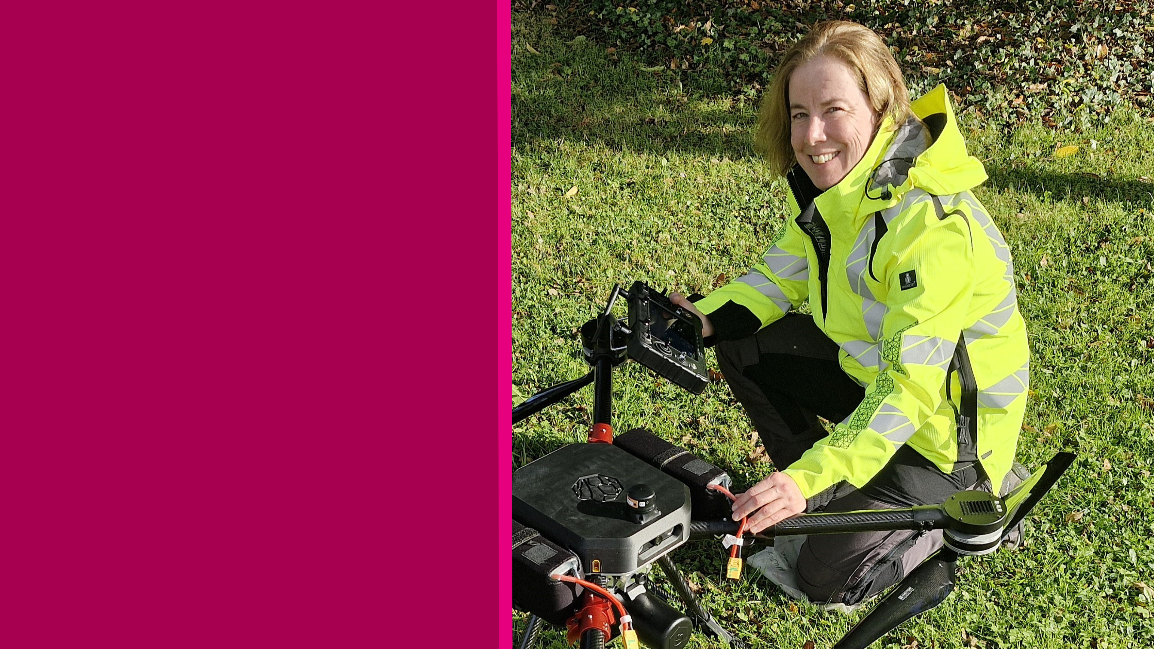
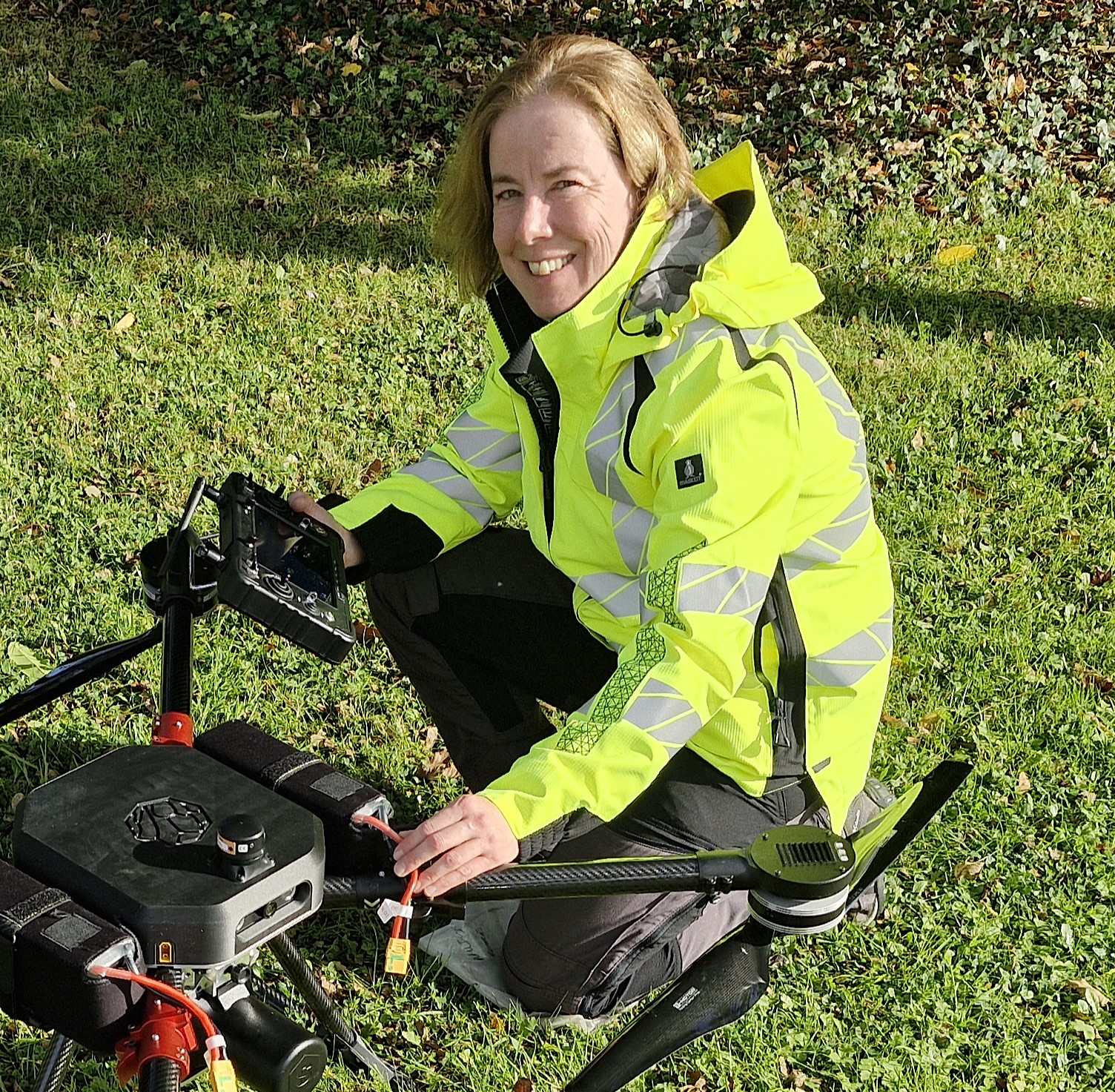
This ‘Day in the Life’ feature focuses on Dr Eve Daly, Lecturer of Earth and Ocean Sciences, College of Science and Engineering, University of Galway.
I am a geophysicist and a lecturer of Earth and Ocean Sciences within the School of Natural Sciences at University of Galway. My Primary degree is in Physics, and my PhD is in Geophysics. Currently, I am the Programme Director of the denominated degree in Earth and Ocean Science at the University. I am also a member of the Royal Irish Academy’s Geoscience Committee, and I am a member of the joint working group between Met Eireann and Teagasc on Agricultural Meteorology. My research area broadly focuses on imaging the “Critical Zone“ - defined as the region where rock meets life; the permeable layer from the tops of trees to the bottom of the groundwater zone, with applications for water resources and agricultural management.
As a triathlete and farmer, my mornings start early. They begin with either a swim, a bike, or a run, or I’ll take up cross training when I’m home on the farm. You cannot beat a long swim towards a morning sunrise in Galway Bay, typically topped off with a warm coffee and a good chat.
In 2019, I formed the HYdrogeophysics and REmote Sensing (HY-RES) research group. Its primary focus is on understanding and developing multiscale tools for monitoring soil moisture, a key climate variable. This is critically important as soil moisture influences the water cycle, plant growth, and the health of ecosystems.
Recent projects from HY-RES include analysing naturally emitted gamma rays to identify hidden peat soils. This is done by using Geological Survey Ireland’s airborne Tellus radiometric data, which provides vital information for the estimation of carbon emission factors from Irish soils, ultimately contributing to the management of climate emission targets. Excitingly, we recently acquired a new drone-based radiometric system (Funded by SFI iCRAG), which will allow for mapping at a higher resolution than the Tellus data. Some of my other projects use field-based geophysical methods for monitoring soil compaction (due to cattle grazing patterns), or generating high-resolution soil moisture maps from satellite imagery. This type of work will help to improve grazing and crop management practices.
I am currently working on two Department of Agriculture, Food and Marine (DAFM) funded projects (REWET and D-Tect) with Teagasc, TCD, and MTU. These projects aim to develop new tools to aid reporting of all greenhouse gas (GHG) emissions and removals to the National Inventory Report (NIR), submitted alongside the identification of implied emission factors.
Over this summer passed, I was invited to contribute to an Environmental Protection Agency (EPA) funded project, GRaDE that will be updating Ireland’s outdoor gamma radiation dose rate map. I will work with researchers from Galway, SETU, and UCD to combine the Tellus Radiometric data with in-situ and drone-based measurements. The project outputs will provide baseline information to inform the National Emergency Plan for Nuclear and Radiological Emergency Exposures. Importantly, soil moisture is a theme that runs through all these projects.
I have always been fascinated by what lies beneath the surface and, as I explained to my mum once, my research focuses on how to see beneath the surface without digging. Ten years ago, I realised the importance of measuring soil moisture for agricultural and water management, and I saw the opportunity to integrate subsurface geophysics with new Earth Observation (EO) data from satellites, powered by machine learning. Essentially, I wanted to come back to my farming roots, and this was how I could do that.
Collaboration is absolutely crucial for any study of biogeochemical (e.g. carbon fluxes) and physical processes (e.g. weathering), especially in the Critical Zone. No one discipline owns the keys to understanding these processes. It is always a team effort. I am part of growing network across Denmark, Belgium, Germany, and Switzerland, comprising soil scientists, remote sensors, hydrologists, and geologists. We must work with farmers in real-world conditions, so being pragmatic and open in all communication is key. I love working with colleagues from Teagasc, MET Eireann, and the Geological Survey Ireland, who understand the challenges farmers and society face. Finally, learning to speak a common language with researchers across disciplines is, to sum up in a word, fun!
Yes, absolutely. I teach subsurface Geophysics, and Earth Observation from drones, planes, and satellites. I teach students across four undergraduate degree programmes: Earth and Ocean Science; Marine Science; Environmental Science; and Civil Engineering. I also mentor PhD students. In my view, my role as a teacher is to show students where the cutting edge is, but also to give them skills needed for employability. For example, my undergraduate project, students work with my colleagues on active research projects and, in my 3rd and 4th year modules, I get students to work in groups, prepare and compete for tenders, and write site investigation reports. All of those are examples of tasks in the professional world. I mentor my PhD students in the spirit of the ‘Roundtable’, where every voice has value. Likewise, bringing learning to the field is a key element within the Earth and Ocean Sciences programme, including yearly fieldtrips, such as the 4th Year trip to Anglesea every September.
A huge challenge for research in the Critical Zone is its inherent complexity in structure and processes, but new tools of machine learning and the ever-increasing volumes of Earth Observation data hold huge potential. It needs to be said that this also comes with huge responsibility in terms of data security, privacy, and creation of fit-for-purpose models and solutions. This is where being part of the Ryan Institute with its key focus on sustainability, along with people, place, and purpose, will be so important going forward.
I started my career looking at the crustal structure of offshore, western Ireland. Later, I did the same in the East African rift. I was drawn to these topics after watching lots of documentaries on earthquakes and volcanoes as a teenager. But I am from the land, a farmer’s daughter with a mind of a scientist. In retrospect, maybe, as with many aspects of life as we mature, we want to align with our values and interests. I was inspired and wanted to assist farmers navigate the changing world they inhabit, helping them do so in a realistic and pragmatic fashion. So, my advice to my younger self? Your real power comes when you own all aspects of your being: the head, the heart, and the soul. It’s never too late to evolve. Nature and the land do it all the time!