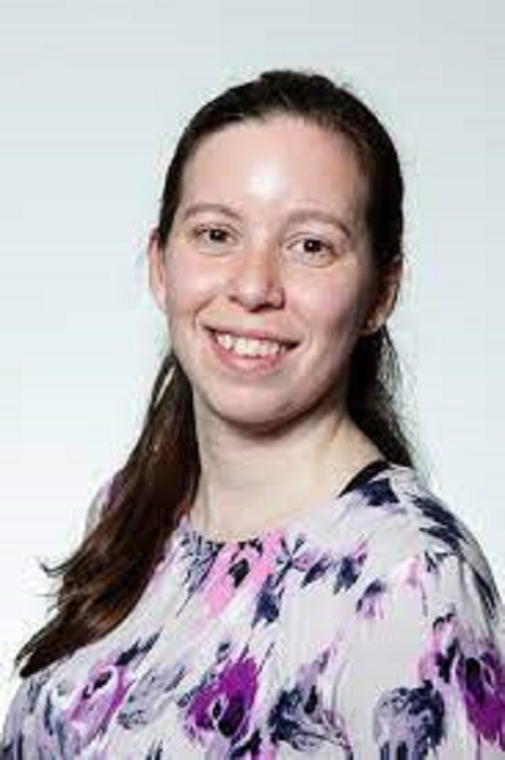
Originally from Rio de Janeiro, Bianca first came to the University as an intern with a deep interest in the semantic web.
Now she is Project Lead on Crowd4Access – working to identify inaccessibility issues on the streets of Ireland.
Anyone interested in participating Ms Pereira’s citizen science project can find more detail at https://crowd4access.insight-centre.org/ and @Crowd4Access
Why are you so interested in this accessibility question?
I think it comes a little bit from my background. In Brazil, we have a very diverse culture in terms of race. This idea of diversity was always a part of me. I grew up having interest in the idea of equality as well, because in Brazil you don’t have much equality, especially social equality.
When I came to NUI Galway I engaged in many initiatives of Equality, Diversity and Inclusion (EDI). At some point I was like, OK, we are working on improving the EDI of the institution itself, but how can we put that at the core of what we do in research? How can technology support Equality, Diversity, Inclusion? And how can those values be embedded into technology?
What data is Crowd4Access sourcing and how is it being done?
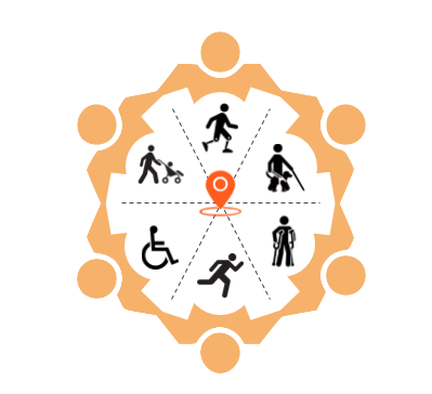
Our perspective of accessibility is a perspective from diversity. Many times we’ll have this idea of inclusion – on one side there are people with disabilities, physical disabilities and on the other side there are people with no disabilities.
It creates a sort of segregation, especially in the era of technology.
Our goal is a Crowd4Access and access for everyone.
So, we have a disabilities first approach. Let us see the problem from the perspective of people who have disabilities, but it’s not exclusive to people with disabilities.
Everyone has specific mobility needs.
In the same way you find difference, you can also find similarities. Crossing a street at lights is as important for a person using crutches who needs to cross slowly, as it is for an older person, or for a kid. A lower kerb is as important for someone using a wheelchair, but also important for a parent pushing a buggy.
In all those things there are similarities and differences.
The first step is what would we like to see on a map – what are the things that increase or decrease your mobility? Is there a footpath? What are the street crossings? What type – uncontrolled or controlled by traffic lights? What type of kerbs or tactile paving? Have they information, audible cues or vibration or an arrow, to help cross the street?
Then it is the process of mapping. We need to have information about a specific location. So, either someone goes there and checks the exact location of the crossing and puts it on a map, which is really hard, or we take pictures of the locations.
We use OpenStreetMap and we use another service which is called Mapillary (to upload data and images) but all the data is accessible … under creative commons licensing.
What areas is Crowd4Access working in?
We mapped all the South East area of Cork. Mount Merrion in south east Dublin is fully mapped. In the north east of Galway (city) we are mapping roads without footpaths and Headford Road and Castlegar area and Menlo and the boreens as well.
Groups are interested in Ashbourne, Co Meath, Castleblayney, Co Monaghan and in Mayo.
The question of technology and Equality, Diversity and Inclusion – how were you influenced to develop the concept of Crowd4Access?
The first time I really engaged with that question in research was in Crowd4Access. I was watching a panel discussion of the challenges for people with disabilities moving around Galway. Someone in a wheelchair was explaining that sometimes they had to use the middle of the road because they could not go on the footpaths – they are either too narrow or the kerbs are not low enough.
Now, imagine having to do that every single day to go shopping, to school, to work, to visit someone.

Explain the ethos behind involving people who are affected by a problem? What value does that bring to your project?
When we talk about research and if it is a societal problem or a technological problem, someone has that problem. And there’s no-one better to talk about the problem than the person who is experiencing it.
In the case of Crowd4Access, we want to involve the citizens who have the lived experience of moving around the city and face accessibility challenges.
We want them to be part of the process so that we can ensure that the solutions that come out of our research exploration can actually be applied and can bring value.
How do you hope your research will make a difference for the public good?
Having the data is not enough if the data is not being used for something. The original goal was to understand the accessible areas of the city.
Then the question is, can we collect data so that even if a person doesn’t have a voice to complain, or they don’t know how to complain, they are still represented.
We are also working with other researchers (outside NUI Galway) to use the information to create applications for GPS for people with disabilities or for urban planners to have an overview of the city or town.
Describe the environment that you’re trying to achieve – is it more liveable, more accessible and friendlier for people to move around?
The first step to liveability is accessibility. A person who cannot access a place cannot enjoy the place.
So, we have this idea of, first, accessibility. Then there is what some people call “walkability” – although I don’t like it because some people don’t walk, they wheel. This idea of “walkability” is not only accessible – it’s if it is safe, is it enjoyable, is there noise or air pollution. Then there is an even bigger thing which is liveability, which includes services and all other things.
Everything starts with accessibility. That’s the point that we are tackling so that we can then have equality and diversity and the rest.
Do you have a vision of where this research and its ideals can take society?
The vision, if we could see something in 10 years’ time, is really that Ireland would be accessible for everyone.
That’s the main thing. And that citizens, all of society, would be involved in discussions about what accessibility is and how it can be achieved for everyone.
Even as part of Crowd4Access there are many people who are still not included.
For example for people who have some sort of sensorial impairment, we are still not at that level of mapping. Also, for women – it is important for everyone, but for women especially – a place which has good lighting. Otherwise people don’t feel safe to go there, the place becomes inaccessible at night because it doesn’t have good street lights and people think I don’t know who is there.
We’d like to see education – people understanding what diversity of accessibility means.
It’s really like having almost like an ecosystem where you have the citizens, the researchers, local authorities, organisations all improving accessibility.
When you think of Equality, Diversity and Inclusion, it shouldn’t really be a top down thing. We cannot just say we are imposing everything for Equality, Diversity and Inclusion. People need to understand what that means on a personal level, so that as a community we can we achieve it.